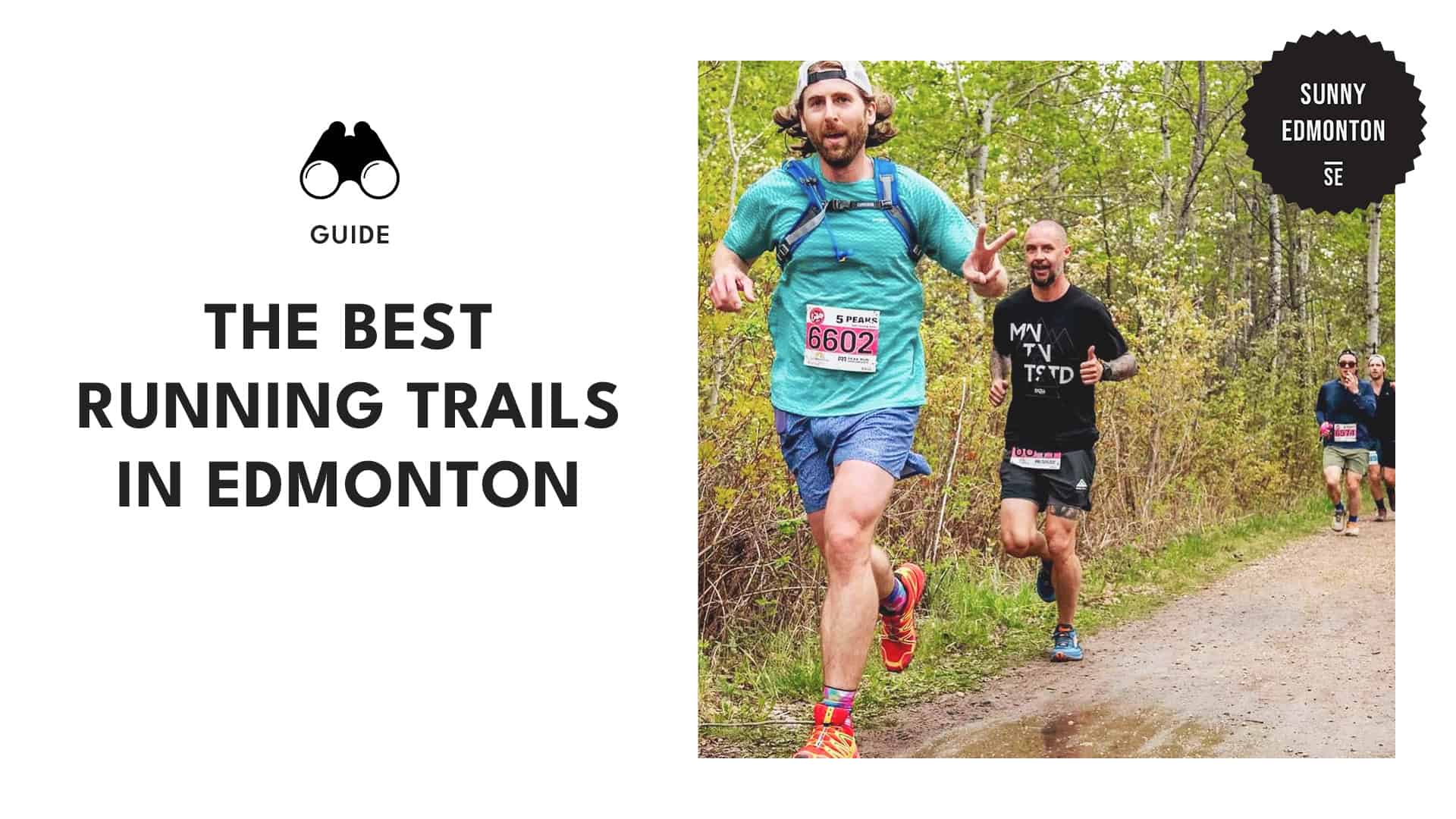
Lace up! Explore the best running trails in Edmonton for every fitness level

Are you tired of the same old running routine? Yeah, me too. After what felt like endless monotony, I decided it was time to hit the trails and explore the great outdoors.
Let’s get right to the juicy part: I’ve rounded up the best running trails in Edmonton that are both invigorating and scenic. Whether you’re aiming for a quick jog or a long-distance challenge, these routes have your back (and legs!).
Terwillegar Park West Loop Trail
Starting/End Point: Parking lot at the entrance of Terwillegar Park
Distance: 3.9 km
Elevation Gain: 78 m
Difficulty: Moderate
Terrain: Gravel paths with well-packed sections, including steep inclines, downhill sections, and access points to the riverside
Terwillegar Park has a large off-leash area for dogs, making it a popular spot for pet owners. I appreciate how well-kept the park is, with many trails that connect to the surrounding neighborhoods.
The west loop trail offers lovely views and chances to spot wildlife along the river. After passing the ponds, I enjoy the quieter areas of the park, where I often see other dog walkers, joggers, and cyclists soaking up the fresh air.
| Pro Tips: The trail is multi-use, so be aware of cyclists, joggers, and dog walkers, and communicate clearly when passing to ensure everyone’s safety. With many intersecting trails, consider using a map to navigate and avoid getting off course during your hike. |
Mill Creek Ravine Trail
Starting/End Point: Parking lot at 98th St. & Connors Rd.
Distance: 2 km
Elevation Gain: 4 m
Difficulty: Easy
Terrain: A mix of paved and unpaved surfaces; some areas may be muddy and subject to closure
The Mill Creek Ravine Trail runs alongside a tributary of the North Saskatchewan River, making it a popular spot for runners. Starting near the Muttart Conservatory, I enjoyed the paved path that offers a 4 km round trip with options to explore nearby.
I found lovely paths and parks along the river, ideal for a quick detour or a post-run stroll.
| Pro Tips: Enjoy the beautiful tree canopy, but don’t forget to pack your bug spray to keep the pesky insects at bay! If you have a dog that needs more exercise, walk south on 50 St to reach Jackie Parker Park, where you’ll find an off-leash area and additional trails. |
Whitemud Creek Trail
Starting/End Point: Corner of Rainbow Valley Rd NW & 45th Ave NW
Distance: 6.8 km
Elevation Gain: 137 m
Difficulty: Easy
Terrain: Moderately flat with some inclines, gravel and dirt paths (snow-covered in winter)
Whitemud Creek Trail offers a refreshing escape with its natural surroundings, attracting visitors and families, especially on weekends. It’s also a favorite spot for winter snowshoeing, where I’ve enjoyed the scenic beauty amidst the snow.
The trail winds through a lush reserve, home to diverse wildlife and over 150 bird species. During a recent walk, I spotted a Great Horned Owl and various chipmunks and squirrels, with bird songs accompanying me along the six-kilometer trail.
| Pro Tips: The trail can get busy on weekends, so consider going early in the morning for a quieter experience. Weekdays are also a great option if you prefer less foot traffic. Dogs are welcome on the trail but must be kept on a leash at all times. |
Fort Edmonton Park Loop Trail
Starting/End Point: Fort Edmonton Park parking lot, near the John Janzen Nature Centre
Distance: 4.7 km
Elevation Gain: 118 m
Difficulty: Easy
Terrain: Paved and packed gravel paths, gentle elevation changes, forested areas alongside the river
Fort Edmonton Park Loop Trail is a delightful run that offers a mix of surfaces, making it both enjoyable and engaging. The scenic views of the river valley, combined with the sight of the historic Hotel Selkirk, often make me forget that I’m in the city.
I appreciate how easily accessible the trail is. The paved section is always a pleasure, and crossing the new footbridge provides lovely views of the river and the chance to spot wildlife like ducks and squirrels as I run along the path.
| Pro Tip: Take time to read the information markers along the trail that discuss the history and wildlife of the area. This adds an enriching layer to your run, allowing you to appreciate the local culture. |
Downtown Loop
Starting/End Point: Corner of Jasper Ave. and 109 St. NW
Distance: 7.5 km
Elevation Gain: 130 m
Difficulty: Moderate to Difficult
Terrain: Steep hills, optional staircase, mainly main roads with safe sidewalks
The Downtown Loop offers a blend of urban and natural scenery, combining parts of downtown with stretches along the river. The route features safe sidewalks and crossings, allowing runners to enjoy a peaceful stretch through Waterdale Park and Nellie McClung Park.
As I explored more of the area, I found that Edmonton’s grid system makes it easy to navigate. The streets north of 104th Ave. NW are great for running, particularly in Westmount and Glenora, with wide sidewalks and welcoming homes.
| Pro Tips: If you’re using public transport, hop on the LRT to Grandin Station, which is conveniently located near the trailhead. This makes it easy to access the route even without a car. Consider taking a break at nearby cafes like Sugarbowl Cafe or High Level Diner after tackling the uphill stretches. |
Victoria Park Loop
Starting/End Point: Royal Glenora Parking
Distance: 5.3 km
Elevation Gain: 97 m
Difficulty: Easy
Terrain: Partially paved, includes big hills and staircases
Victoria Park Loop is an easy running trail that usually takes about 1 hour and 17 minutes to finish. The trail is open year-round, which makes it a nice place to visit any time, and I can bring my dog as long as he’s on a leash.
There are also stairs that lead up to Victoria Promenade, which can be a good workout if I’m up for it. With the trees bare, I get great views of the golf course and the university buildings nearby.
| Pro Tip: This area is popular for fishing, hiking, and biking, so expect to share the trail with others and enjoy the lively atmosphere. |
Emily Murphy Loop
Starting/End Point: Waterdale Bridge Parking
Distance: 6.5 km
Elevation Gain: 38 m
Difficulty: Moderate
Terrain: A mix of paved and dirt trails, featuring shaded forest areas, river paths, and paved pathways
The Emily Murphy Loop is a charming trail that begins at the Kinsmen Sports Centre and takes you under the Walterdale Bridge. I always enjoy the views from the Dudley B. Menzies Bridge, where you can see the high-level bridge and the river valley.
As I run, I pass through Emily Murphy Park and its picnic areas before joining the Forest Capital Trail system. The route continues through Victoria Park, a favorite among lunchtime joggers, before crossing the Groat Bridge.
| Pro Tip: For a refreshing finish to your run on hot days, consider stopping by the nearby spray park or taking a dip in Queen Elizabeth Pool. Both are great spots to cool off after your workout. |
North Saskatchewan River Valley
Starting Point: 110 Avenue
End Point: MacKinnon Ravine
Distance: 13.79 km
Elevation Gain: 92 m
Difficulty: Easy
Terrain: Paved trails, with some elevation changes around the Low-Level Bridge
The North Saskatchewan River Valley is Canada’s largest urban park. Running along the river is a joy, with easy access to downtown and paved paths that offer lovely views of the water, the High-Level Bridge, and parks like Hawrelak Park.
On the north side, I enjoy the scenic views of landmarks like the Alberta Legislature and the Art Gallery of Alberta. The stairs provide a great workout, and the path leads to Sir Wilfrid Laurier Park, connecting to the Heritage Amphitheatre and south-side trails.
| Pro Tip: Create a loop route that incorporates the bridges to keep your run interesting. Experiment with different loop lengths to find what works best for your training goals. |
Walterdale Bridge – Low Level Bridge
Starting/End Point: Waterdale Bridge Parking
Distance: 5.5 km
Elevation Gain: 96 m
Difficulty: Easy
Terrain: Partially paved with stairs and hills; snowy in winter
The looped trail near the Walterdale Bridge offers a great way to explore the area, with paths leading along the shorelines and hills. I enjoyed the staircases connecting the Funicular to the Shumka Stage at Millennium Plaza and the Tawatina Footbridge.
The views of the bridge and river were lovely, and it was nice to see others enjoying the city. With its combination of stairs and hills, this loop is moderate, though I found it less maintained in winter, making it better suited for snowshoeing.
| Pro Tip: Before your winter visit, check the weather conditions, as some areas may not be well maintained. Snowshoeing can be a fun alternative if the paths are covered in snow. |
MacKinnon Ravine
Starting/End Point: Summit Drive NQ
Distance: 15.9 km
Elevation Gain: 213 m
Difficulty: Easy
Terrain: Paved, with some flat sections and gentle hills
MacKinnon Ravine offers a pleasant multi-use trail that’s easy to navigate. I parked on 91st and enjoyed heading down the ravine, passing under Jasper Avenue to connect with the trail near the Dawson Bridge. At the bridge, there’s a lovely view of the city skyline.
Along the way, there are short off-road diversions that let you explore the forests and rivers, making it feel like you’re immersed in nature while still close to the city.
| Pro Tips: Take advantage of the shaded spots in Government House Park for a relaxing picnic. The peaceful views of the river create a lovely backdrop for a meal or snack. If you’re visiting in winter, don’t miss the hill below Government House, which is great for tobogganing. Bring your sled for a fun outing with family or friends. |
Kinnaird River Valley Loop
Starting/End Point: McNally High School, northeast of Forest Heights Park, on 106th Ave
Distance: 5.77 km
Elevation Gain: 88 m
Difficulty: Easy
Terrain: Mixed terrain including paved paths, quiet neighborhood streets, and park trails along the river
The Kinnaird River Valley Loop offers a pleasant route along the North Saskatchewan River. The neighborhood is quiet, and crossing the Capilano Bridge feels safe, as there’s a path beside the busy road for both runners and walkers.
The trail then winds along the Kinnaird River Valley and around Dawson Park, providing a charming and peaceful running experience.
| Pro Tip: Take advantage of the many miles of paths along the river and the interconnected parks, allowing you to customize your run and extend your distance. |
University of Alberta Route
Starting/End Point: University campus or parking at 87th & 114th
Distance: 3.13 km
Elevation Gain: 12 m
Difficulty: Easy
Terrain: Flat, primarily paved paths on campus
The University of Alberta North Campus spans 230 acres, offering a variety of paths for runners to explore. I enjoy running around the university and often find new routes by wandering through the inner streets and paths.
The campus features intriguing buildings like Rutherford Library and Convocation Hall, which I love to admire while I run. Taking a moment to appreciate the architecture and gardens makes my experience even more enjoyable.
| Pro Tip: After your run, take time to explore the nearby Kinsman and Walterdale parks, and don’t miss the Quad for a relaxing picnic or to catch a campus event. While you’re there, also consider visiting the Royal Alberta Museum and the Art Gallery of Alberta. |
Oleskiw Natural Area
Starting Point: Wolf Willow Ridge, bottom of the hill at Woodward Cres.
End Point: Wolf Willow stairs
Distance: 5 km
Elevation Gain: 22 m
Difficulty: Easy
Terrain: Mostly level pavement, with some sections through forests and old farmlands
Running through the Oleskiw Natural Area is always a refreshing experience for me, with trails that wind through lush forests and offer lovely views of the river. I enjoy crossing the charming footbridge at Terwillegar Park, where I often pause to take in the scenery.
As I run, I appreciate the remnants of old farmlands that add a unique touch to the area. After my run, I like to take a leisurely walk and tackle a set of stairs nearby. The view is a perfect way to unwind and appreciate the beauty around me.
| Pro Tip: Wildlife activity is often higher during the early morning or late afternoon, so plan your visit accordingly for the best chance to see animals. |
Laurier-Hawrelak Loop
Starting/End Point: Laurier Park entrance
Distance: 84.4 km
Elevation Gain: 17 m
Difficulty: Moderate
Terrain: Mix of paved roads, gravel paths, and dirt tracks; includes some varied terrain
Laurier-Hawrelak Loop offers several loop options, allowing you to choose your path through some of Edmonton’s beautiful parks. I appreciate how each route presents a unique perspective, showcasing the area’s natural charm.
I usually follow the road into Laurier Park, which then leads to a retired road that circles back to the traffic area. Just after leaving Laurier Park, I often hop on the gravel path that winds through Buena Vista Park, taking me to the Hawrelak Footbridge and back.
| Pro Tip: After your run, consider stopping at Culina on the Lake for a refreshing drink and a chance to relax. It’s a great way to unwind and appreciate the park’s atmosphere after a good workout. |
100 St Funicular Loop
Starting/End Point: Corner of Jasper Ave and 100 St, across from the Hotel MacDonald
Distance: 10 km
Difficulty: Moderate to difficult
Terrain: Paved paths, trails, and stairs, with scenic views of the river and parks
As I jog along the trail next to the trolley tracks, I like to stop at Ezio Faraone Park and the Glenora Stairs for a quick look at the views. The paved path that winds through the trees offers a peaceful break before reaching Victoria Park Road.
Heading downhill, I enjoy the North Saskatchewan River beside me as I pass under the High-Level and Walterdale bridges. The trail between the river and the Rossdale Plant provides a nice mix of nature and urban charm that I always appreciate.
| Pro Tips: Don’t miss the chance to stop at Ezio Faraone Park and the Glenora Stairs for a breather and some great photo opportunities of the surroundings. If you’re feeling up to it, consider tackling the stairs at the Glenora Stairs for a good workout; it’s a great way to boost your endurance. |